Barbati
Barbati - Corfu (Greece)
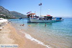
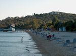
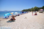
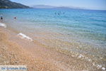
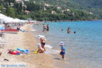
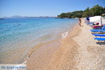
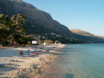
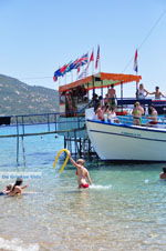
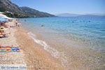
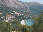
Barbati. Barbati is a pretty coastal village in the northeast of the island of Corfu. It is located 19 kilometres north of Corfu town. In Barbati, there is plenty to do, such as water sports at the "Barbati ski club" or boat trips to beautiful beaches around. Barbati is a touristic village but the sheltered bay provides a safe swimming spot for children. The surroundings of Barbati are very beautiful, the green slopes of the Pantokrator mountain and the beautiful pebble beach where you can find shade under the trees. Most tavernas, restaurants and souvenir shops are located along the lively main road on top of the slope.
Text: Yorgos and Wendy Nikolidakis - Revised by Maxine van Hoften Gee
Photo Gallery Barbati - Photos of Barbati
Weather forecast Barbati (Corfu)
Average temperature Barbati
Barbati in other languages
 Barbati (GriekseGids.nl)
 Barbati (GriekseGids.be)
 Barbati (GreeceGuide.co.uk)
 Barbati (GriechenlandWeb.de)
Corfu: Where on the map is Barbati located?
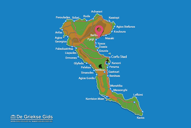
The map of Corfu (©JustGreece.com)
Corfu
Acharavi
Achilleion
Afionas
Agios Georgios Pagon
Agios Gordis
Agios Ioannis
Agios Stefanos Avlioton
Arilas
Barbati
Beaches Corfu
Benitses
Corfu town
Dassia
Doukades
Ermones
Gastouri
Glifada
Gouvia
Kalami
Kanoni
Kassiopi
Kavos
Kontogialos
Kontokali
Korision Lake
Kouloura
Lakones
Lefkimi
Messonghi
Moraitika
Myrtiotissa
Neochori
Nisaki
Paleokastritsa
Pelekas
Perama
Peroulades
Roda
Sidari
Sinarades
Ypsos
© JustGreece.com 2004-2025

